Research conducted by:
Xiaofeng Liu, Associate Professor of Civil and Environmental Engineering and ICDS Co-Hire, Roman DiBiase, Assistant Professor of Geosciences
Tags:
big data engineering water
Research Summary:
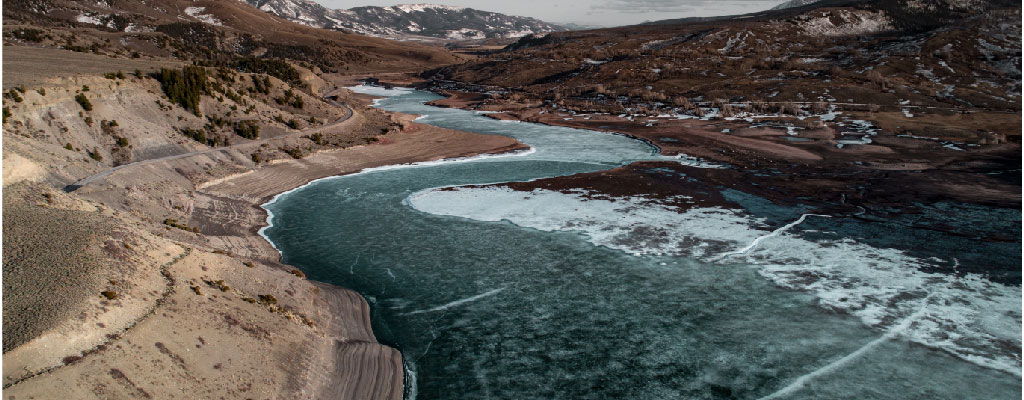
Knowing how the materials that make up a stream bed can impact how water flows through mountain streams can help officials and emergency planners, but that data is often hard to gather. A team of researchers used photogrammetry – obtaining reliable data about the environment from various forms of imagery – to better evaluate flow and flow resistance in mountain streams. This type of work could help officials more easily obtain data that could be used to help them better prepare for flooding scenarios.
How Roar played a role in this research:
Simulations were run on the Roar system
|
Article Title: |
Quantifying flow resistance in mountain streams using computational fluid dynamics modeling over structure-from-motion photogrammetry-derived microtopography |
|---|---|
|
Published In: |
Earth Surfaces Processes and Landforms |
|
Abstract: |
Flow resistance in mountain streams is important for assessing flooding hazard and quantifying sediment transport and bedrock incision in upland landscapes. In such settings, flow resistance is sensitive to grain-scale roughness, which has traditionally been characterized by particle size distributions derived from laborious point counts of streambed sediment. Developing a general framework for rapid quantification of resistance in mountain streams is still a challenge. Here we present a semi-automated workflow that combines millimeter- to centimeter-scale structure-from-motion (SfM) photogrammetry surveys of bed topography and computational fluid dynamics (CFD) simulations to better evaluate surface roughness and rapidly quantify flow resistance in mountain streams. The workflow was applied to three field sites of gravel, cobble, and boulder-bedded channels with a wide range of grain size, sorting, and shape. Large-eddy simulations with body-fitted meshes generated from SfM photogrammetry-derived surfaces were performed to quantify flow resistance. The analysis of bed microtopography using a second-order structure function identified three scaling regimes that corresponded to important roughness length scales and surface complexity contributing to flow resistance. The standard deviation z of detrended streambed elevation normalized by water depth, as a proxy for the vertical roughness length scale, emerges as the primary control on flow resistance and is furthermore tied to the characteristic length scale of rough surface-generated vortices. Horizontal length scales and surface complexity are secondary controls on flow resistance. A new resistance predictor linking water depth and vertical roughness scale, i.e. H=z , is proposed based on the comparison between z and the characteristic length scale of vortex shedding. In addition, representing streambeds using digital elevation models (DEM) is appropriate for well-sorted streambeds, but not for poorly sorted ones under shallow and medium flow depth conditions due to the missing local overhanging features captured by fully 3D meshes which modulate local pressure gradient and thus bulk flow separation and pressure distribution. An appraisal of the mesh resolution effect on flow resistance shows that the SfM photogrammetry data resolution and the optimal CFD mesh size should be about 1/7 to 1/14 of the standard deviation of bed elevation. View article on publisher's website |